

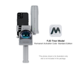
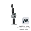


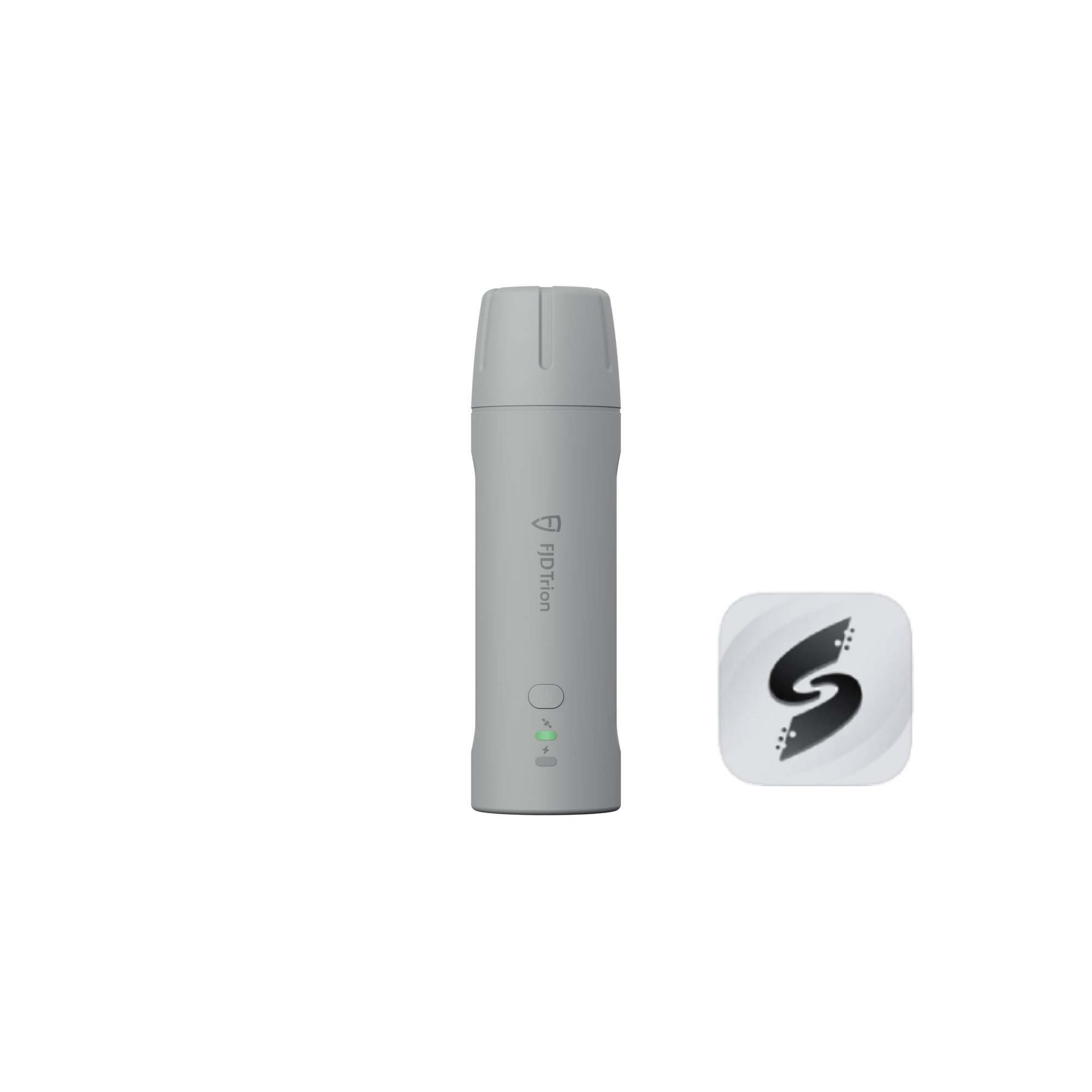


FJD Trion V4e & V4e Pro Mini RTK-Empfänger
Klein in der Hand, grenzenlos an Land
- Kleine Größe, große Kraft
- Robust gebaut für ganztägige Effizienz.
- EINFACHERER ZUGANG ZUM FJD TECH-ÖKOSYSTEM
FJD Trion V4e RTK Empfängerbroschüre
FJD Trion V4e RTK-Empfängerhandbuch
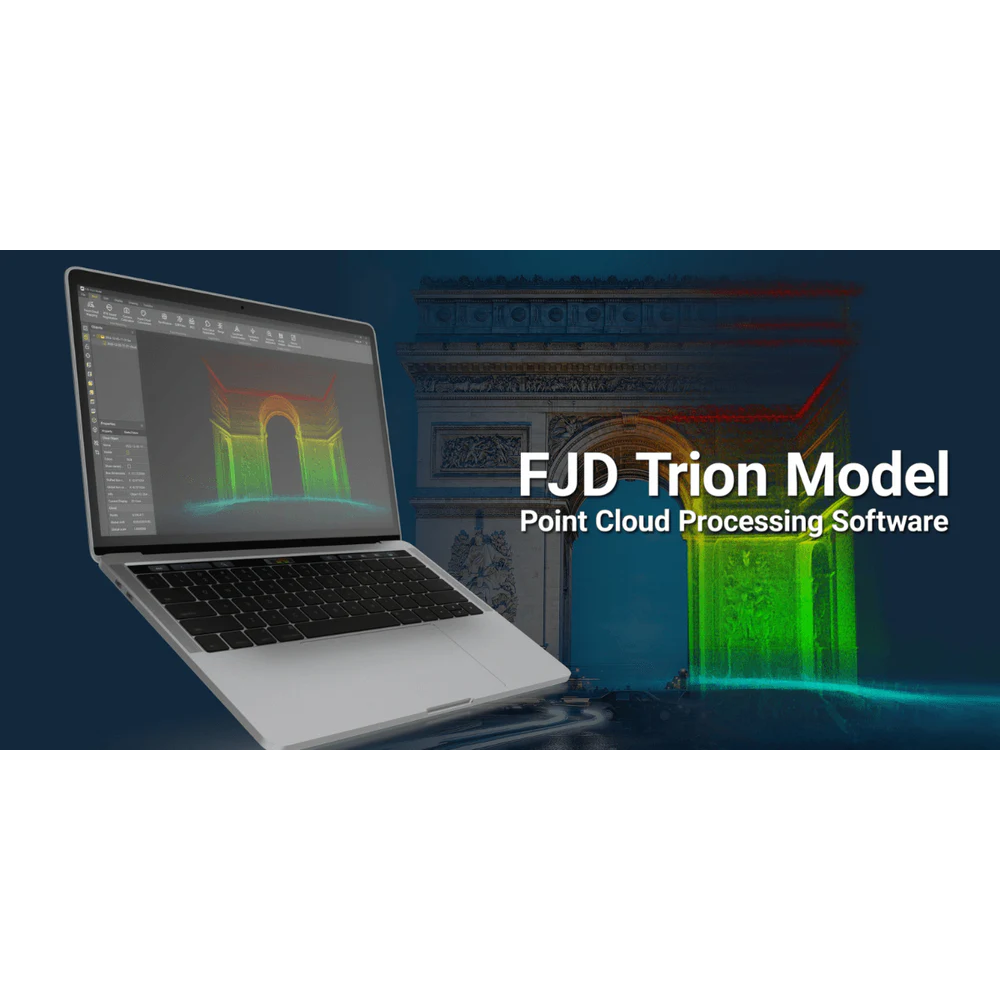
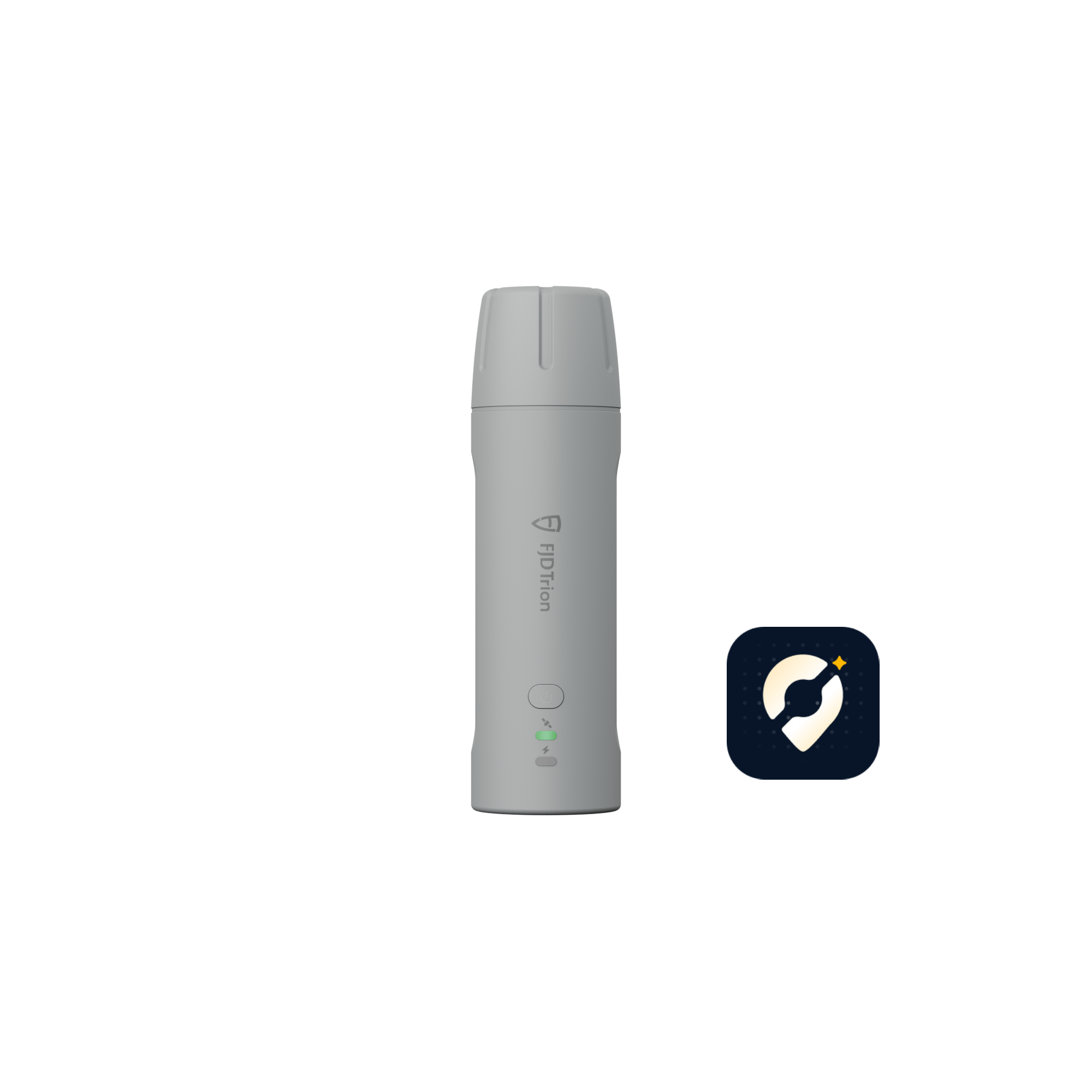
Laden Sie die FJD Trion Scan App herunter
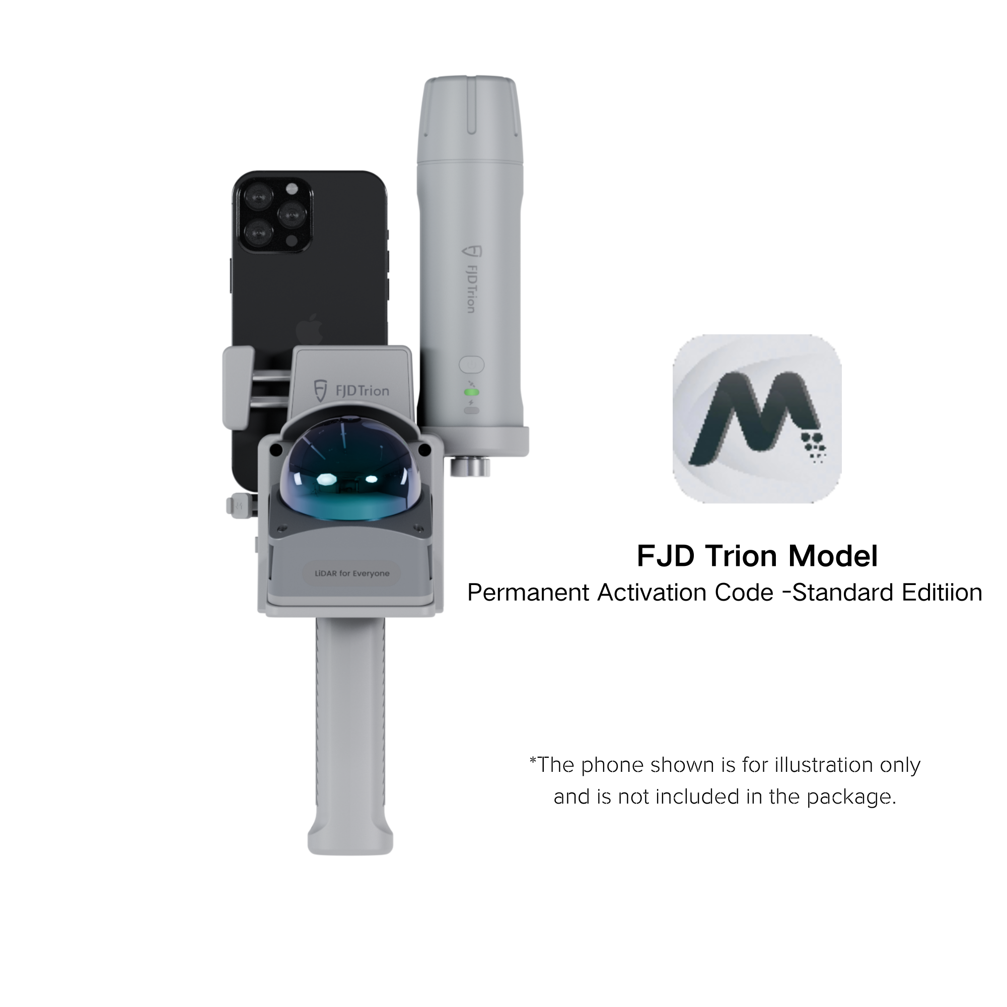
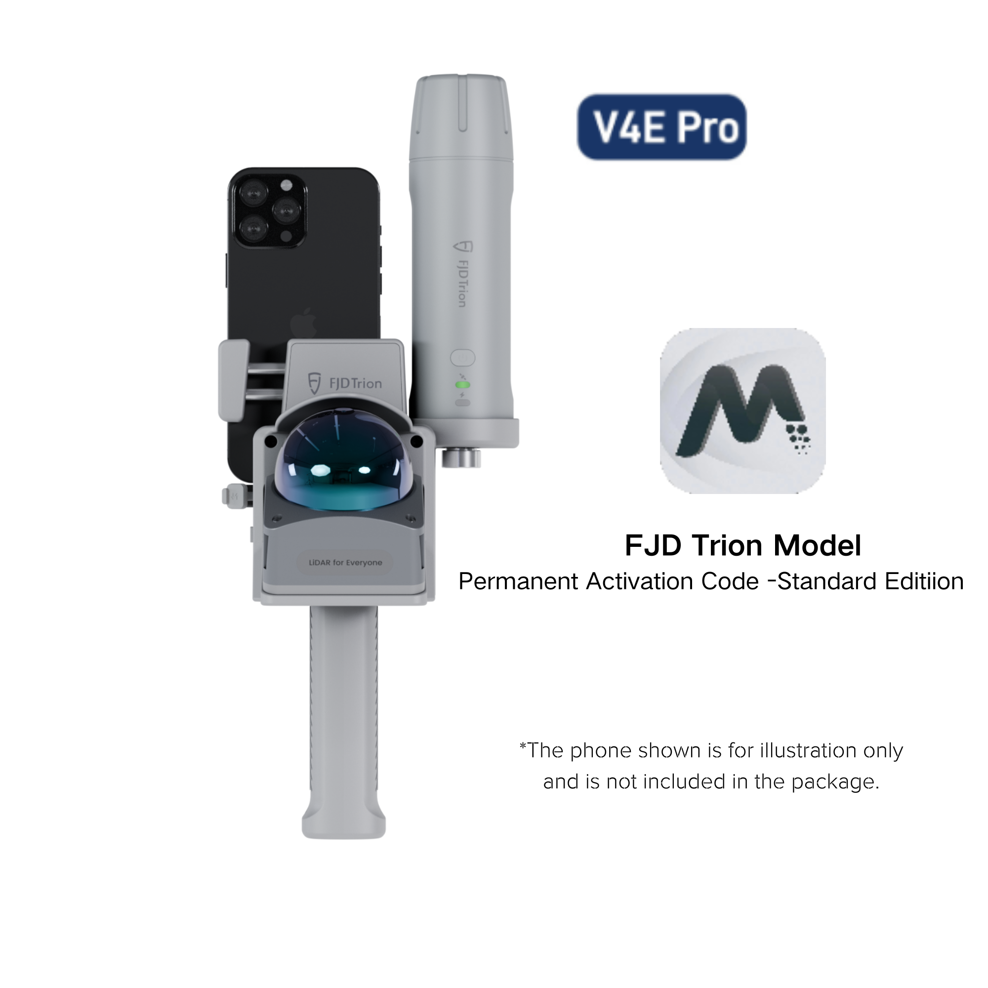
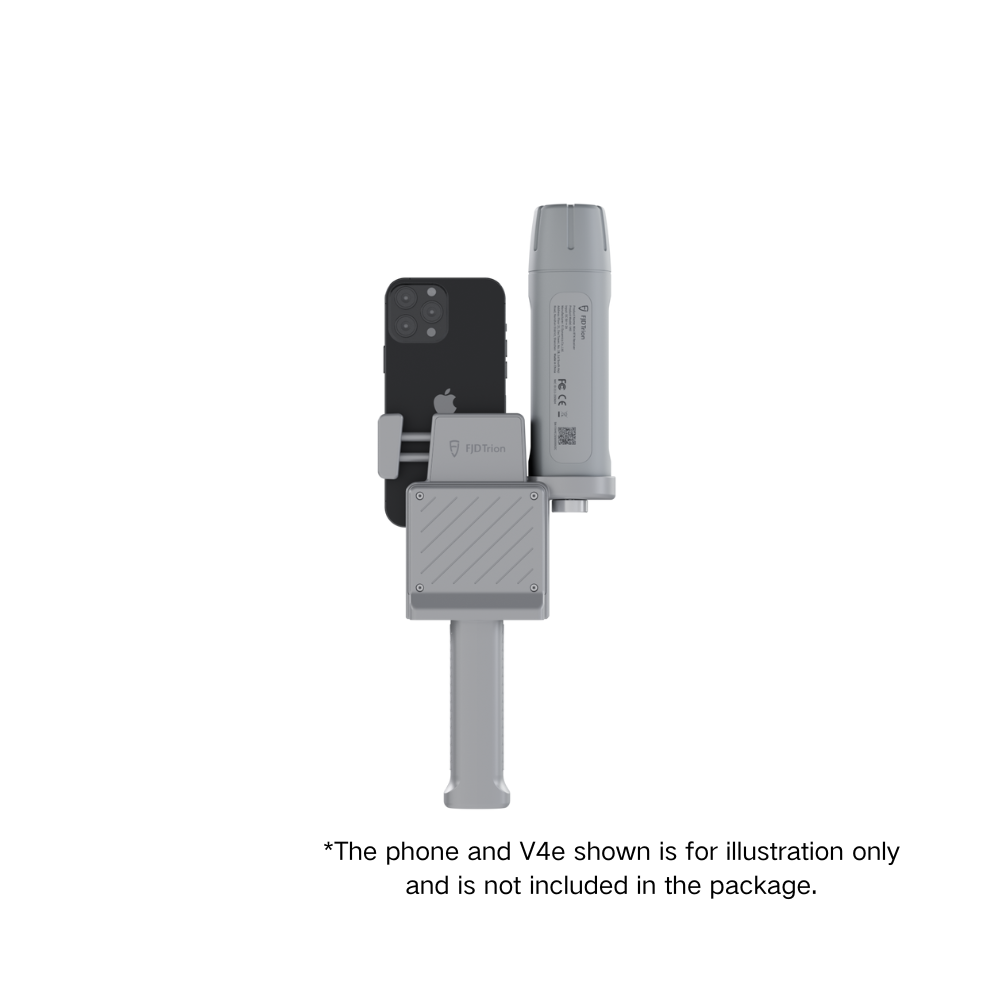
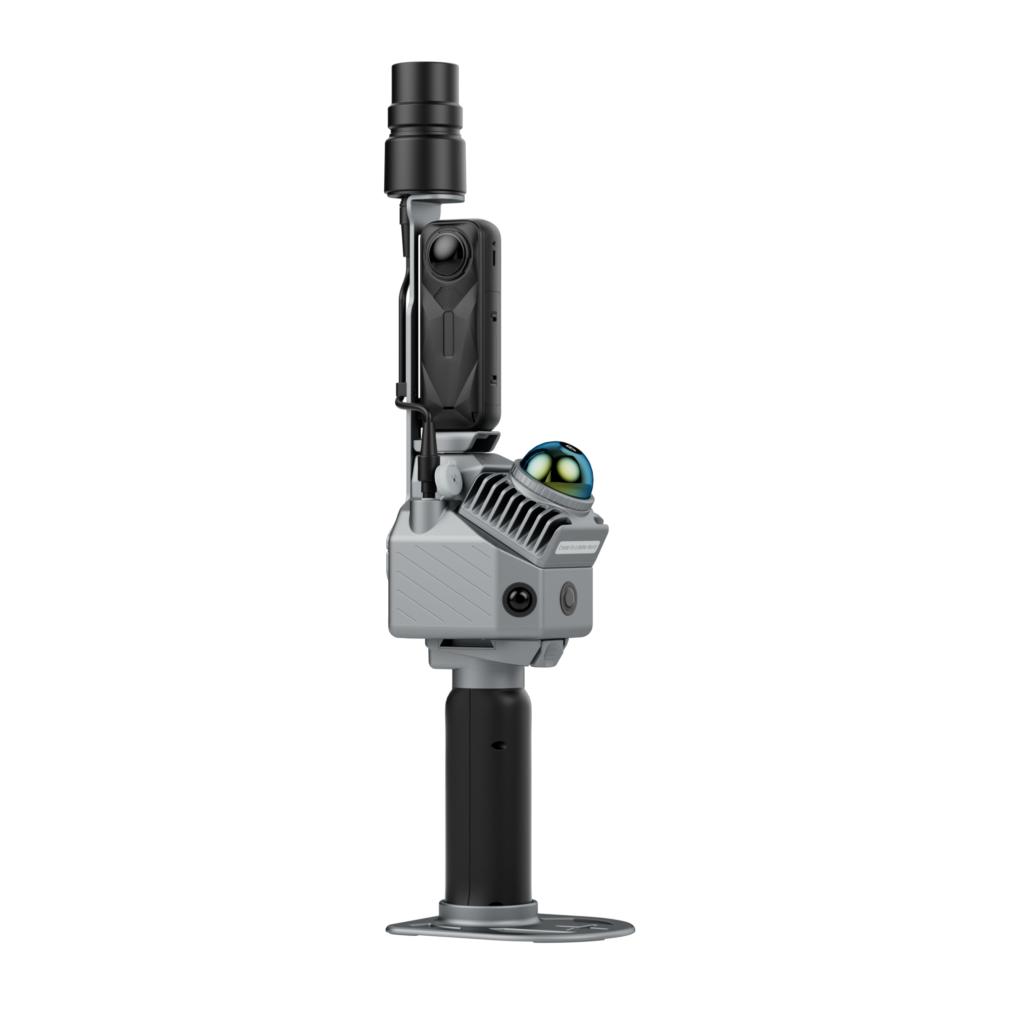
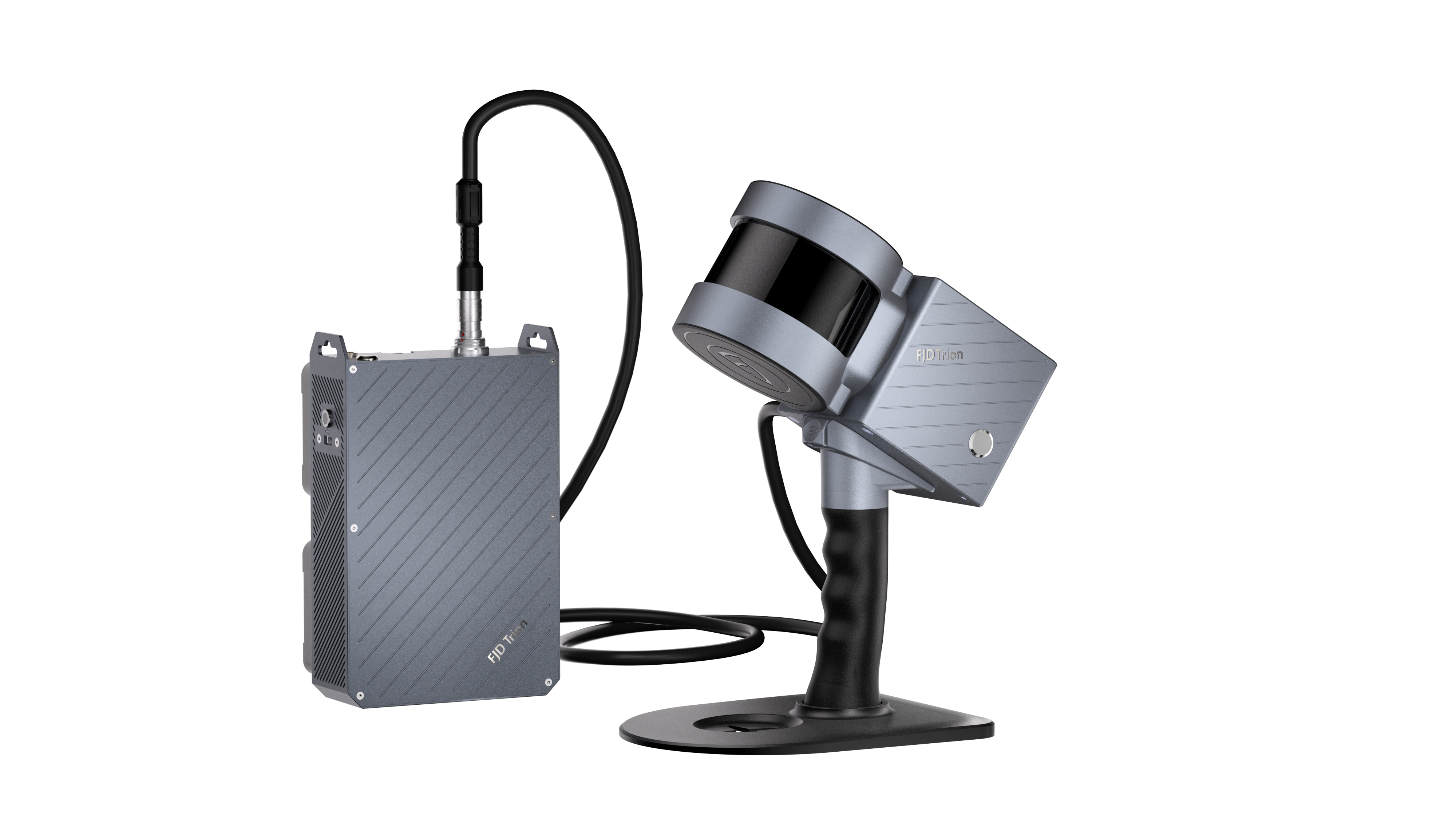
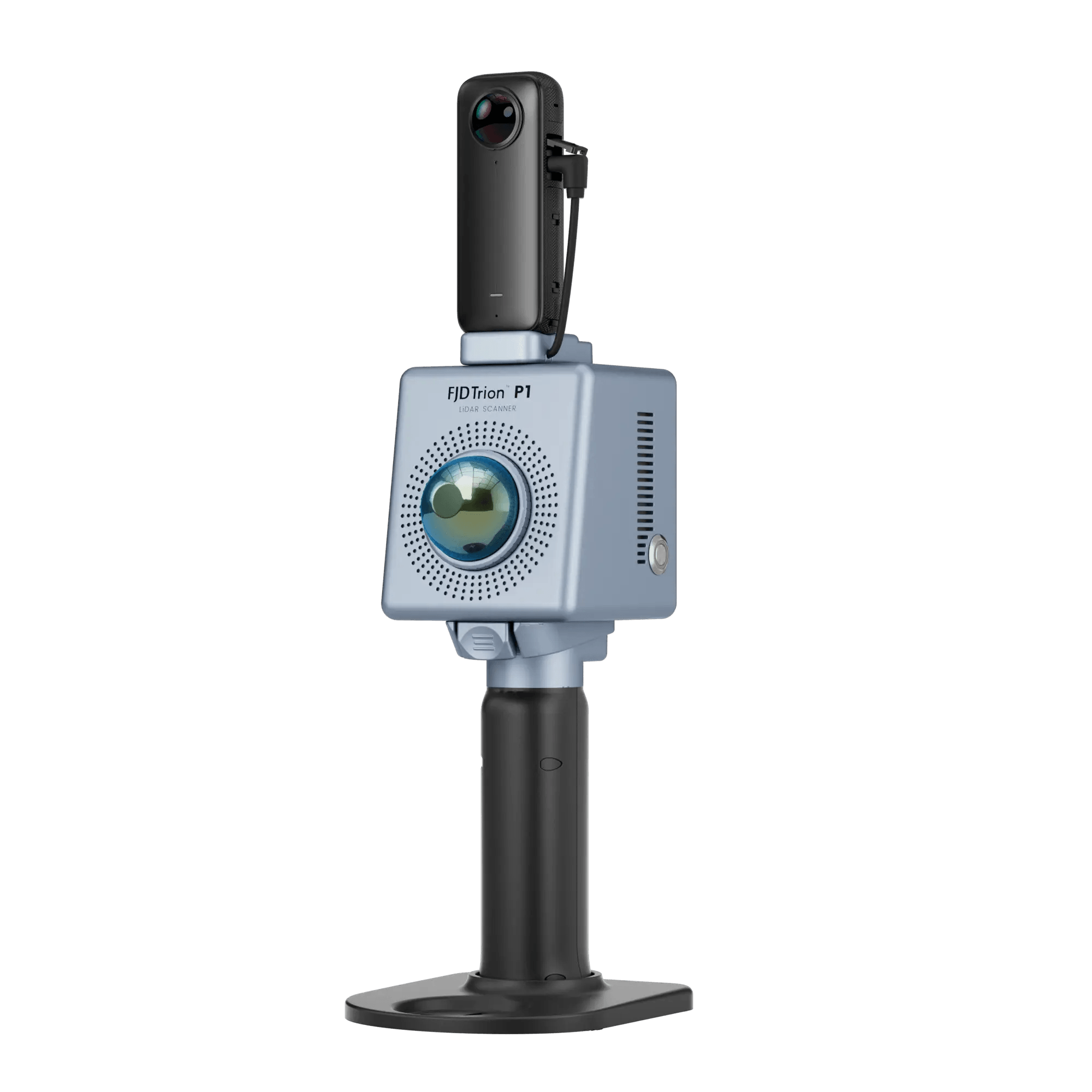
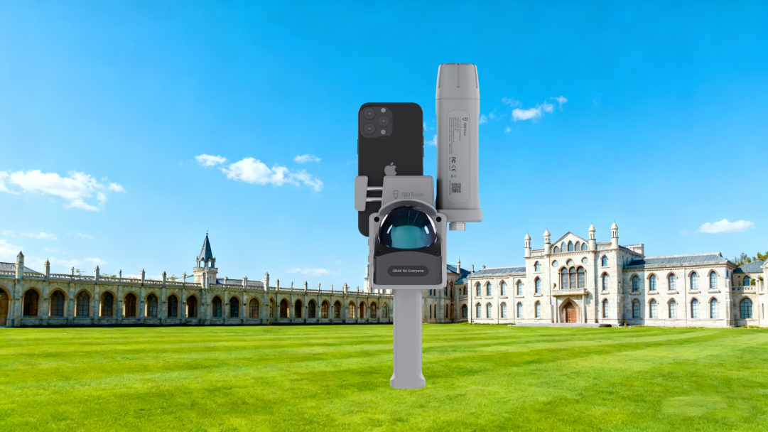
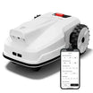
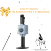
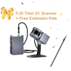
Designed to work with FJD Trion V4e LiDAR.

![]() Get it between -
Get it between -


Klein in der Hand, grenzenlos an Land
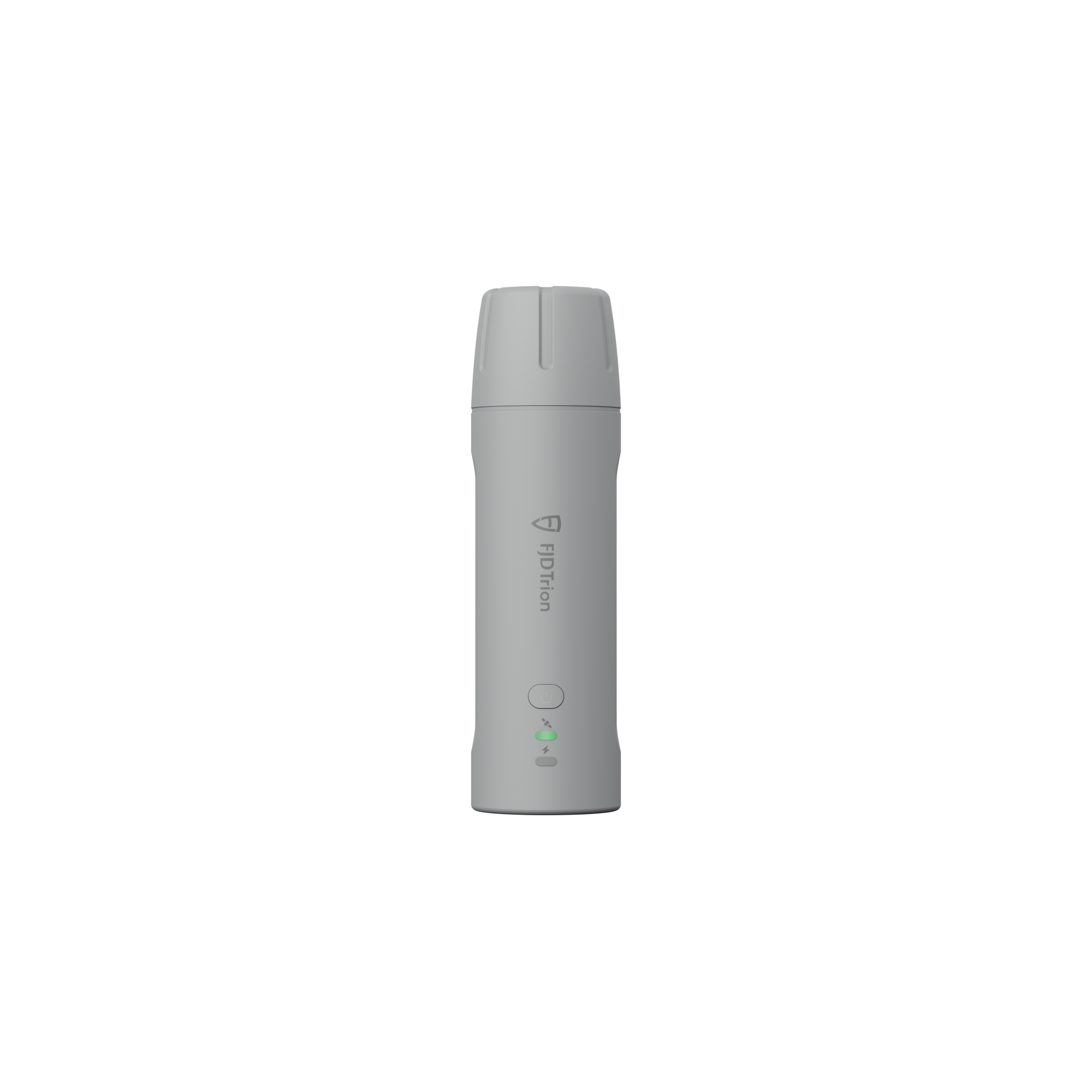
Der FJD Trion V4e Mini RTK-Empfänger setzt neue Maßstäbe für herkömmliche GNSS-Empfänger und überzeugt durch handliche Bedienung und mobile Präzision. Mit einem Gewicht von nur 320 g ermöglicht der V4e zentimetergenaue Positionierung ohne Zentrierstangen und ist damit ideal für Einzelpersonen, Teams und Profis unterwegs. Benutzerfreundlich und kostengünstig – erschließt er Ihnen im Handumdrehen die Möglichkeiten hochpräziser Vermessung.

Main Features
 Global Constellations Supported 1408 Channels |  H≤0.8 cm+1 ppm V<1.5cm+1 ppm |  Pocket-Sized Only 320g |
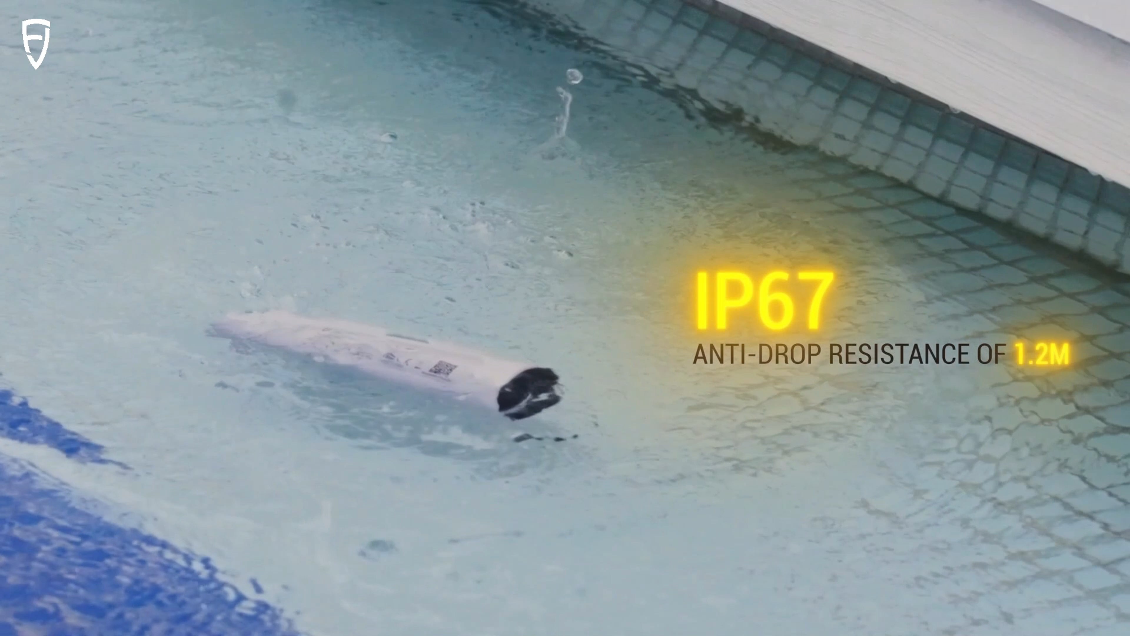
 Battery Life ≥12h Charging Time <3h |  1.2m Anti-Drop |  Startup Time Cold: <30s, Hot: <5s, RTK Init:5s |
Key Benefits
 | Small Size, Big PowerDeliver centimeter-level accuracy with ±1.5 cm static precision. It supports 1408 channels and covers all GNSS constellations, including GPS, BDS, GLONASS, Galileo, QZSS, and SBAS. Weighing only 320g, the V4e offers broad compatibility with popular correction services, supporting NTRIP connectivity with RTCM 2.3, RTCM 3.x, and CMR. |
No Pole, No ProblemCompensate for tilt angles up to 30° (PRO version) with a built-in IMU, so you don't need to hold it perfectly straight. This gives you ≤3cm accuracy at a 3m distance without a leveling rod. Its onboard LiDAR rangefinder in the PRO version also achieves ±3mm precision at a 10m distance for precise point targeting. |  |
 | Built Tough for All-Day EfficiencyStay powered up for the entire workday. It can run for over 12 hours and takes less than 3 hours to charge. You can even keep the V4e working while charging it with a power bank, so your work is never interrupted. |
Protected. Durable. Reliable.With IP67-rated protection against water and dust, and 1.2-meter drop resistance, the V4e is built to withstand tough environments. It keeps working reliably even when exposed to dust or accidental drops, ensuring consistent accuracy for your outdoor projects. |  |
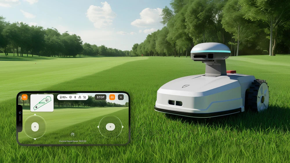
 | EASIER ACCESS TO FJD TECH ECOSYSTEMAccess the FJD ecosystem quickly for a smooth workflow from field to machine. The GNSS data you collect with the V4e in the field can be directly used by FJD's farming autosteering systems, robotic mowers, and other smart devices for automated tasks. You don't have to convert the data, allowing you to work faster and reduce mistakes. * Beyond the FJD ecosystem, its open design also supports customization to fit your unique needs. |
Small Size, Big Power
Deliver centimeter-level accuracy with ±1.5 cm static precision. It supports 1408 channels and covers all GNSS constellations, including GPS, BDS, GLONASS, Galileo, QZSS, and SBAS. Weighing only 320g, the V4E offers broad compatibility with popular correction services, supporting NTRIP connectivity with RTCM 2.3, RTCM 3.x, and CMR.No Pole, No Problem
Compensate for tilt angles up to 30° (PRO version) with a built-in IMU, so you don't need to hold it perfectly straight. This gives you ≤3cm accuracy at a 3m distance without a leveling rod. Its onboard LiDAR rangefinder in the PRO version also achieves ±3mm precision at a 10m distance for precise point targeting.Built Tough for All-Day Efficiency
Stay powered up for the entire workday. It can run for over 12 hours and takes less than 3 hours to charge. You can even keep the V4E working while charging it with a power bank, so your work is never interrupted.Protected. Durable. Reliable.
With IP67-rated protection against water and dust, and 1.2-meter drop resistance, the V4E is built to withstand tough environments. It keeps working reliably even when exposed to dust or accidental drops, ensuring consistent accuracy for your outdoor projects.EASIER ACCESS TO FJD TECH ECOSYSTEM
Access the FJD ecosystem quickly for a smooth workflow from field to machine. The GNSS data you collect with the V4E in the field can be directly used by FJD's farming autosteering systems, robotic mowers, and other smart devices for automated tasks. You don't have to convert the data, allowing you to work faster and reduce mistakes.* Beyond the FJD ecosystem, its open design also supports customization to fit your unique needs.
Why Choose RTK

Application Scenarios
 Topographical Survey |  Construction & BIM |  Utilities & Public Works |
 Road Surveying |  Forestry & Agriculture |  Quick Robotic Integration |
Topographical Survey
Construction & BIM
Utilities & Public Works

Road Surveying
Forestry & Agriculture
Quick Robotic Integration
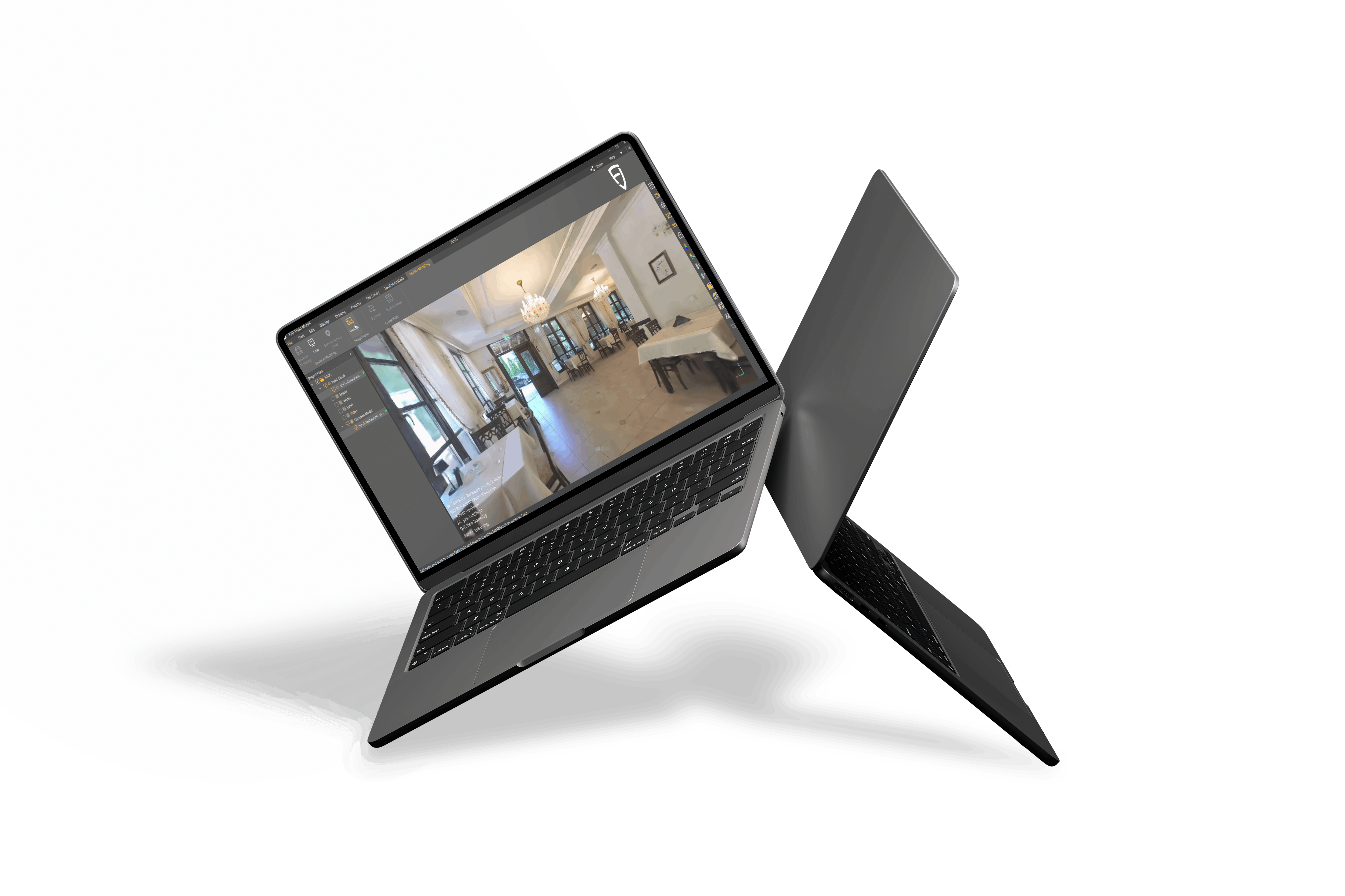
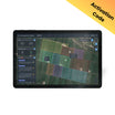
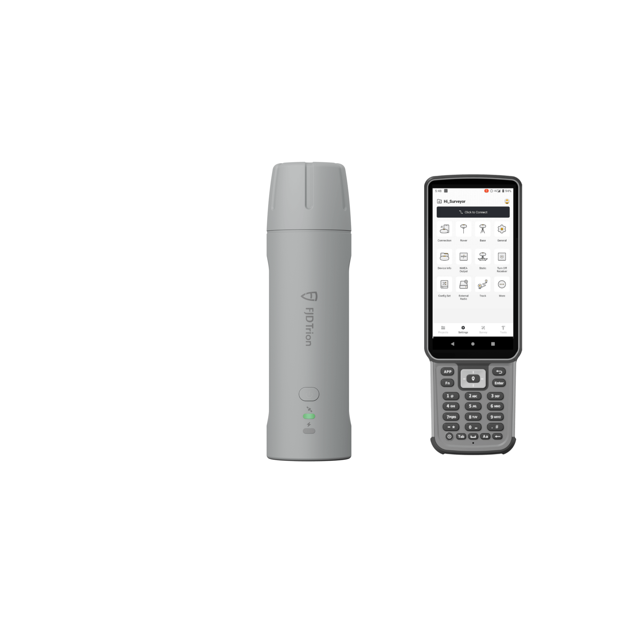
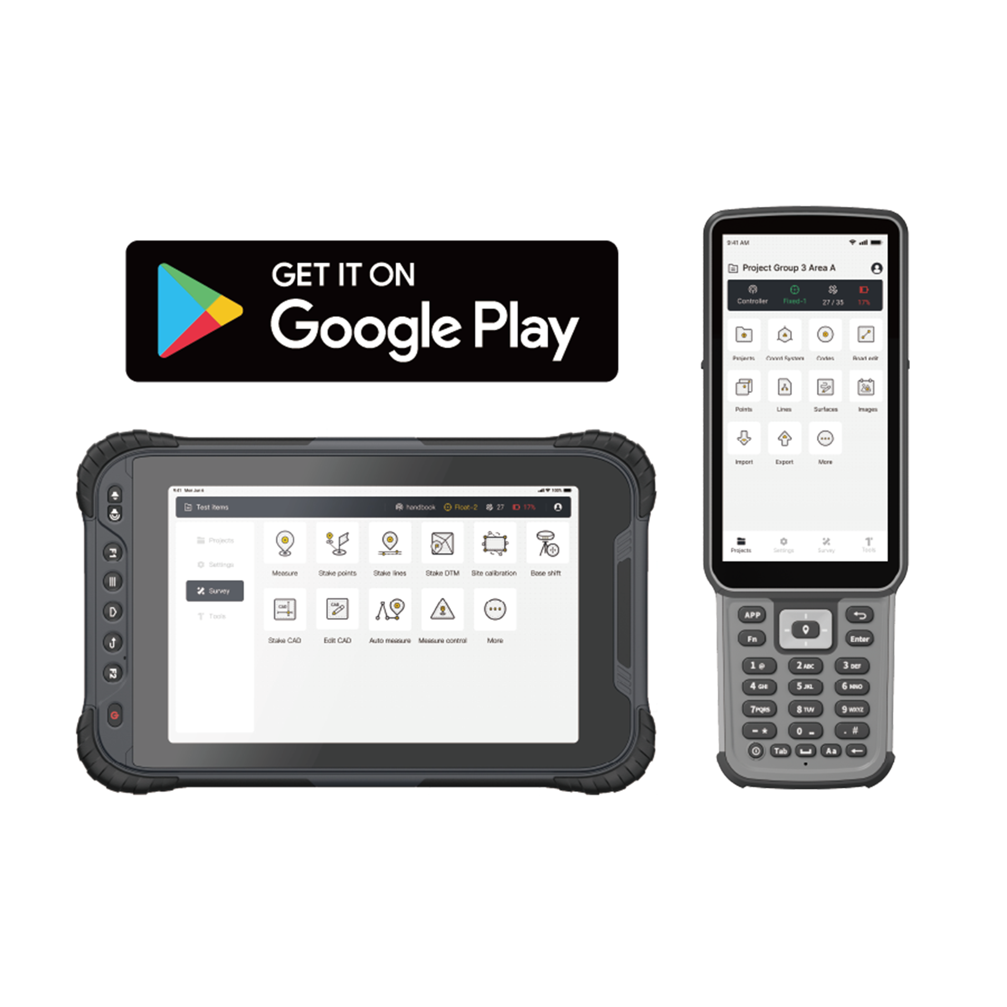
Einführung in die FJD Trion Umfrage-App
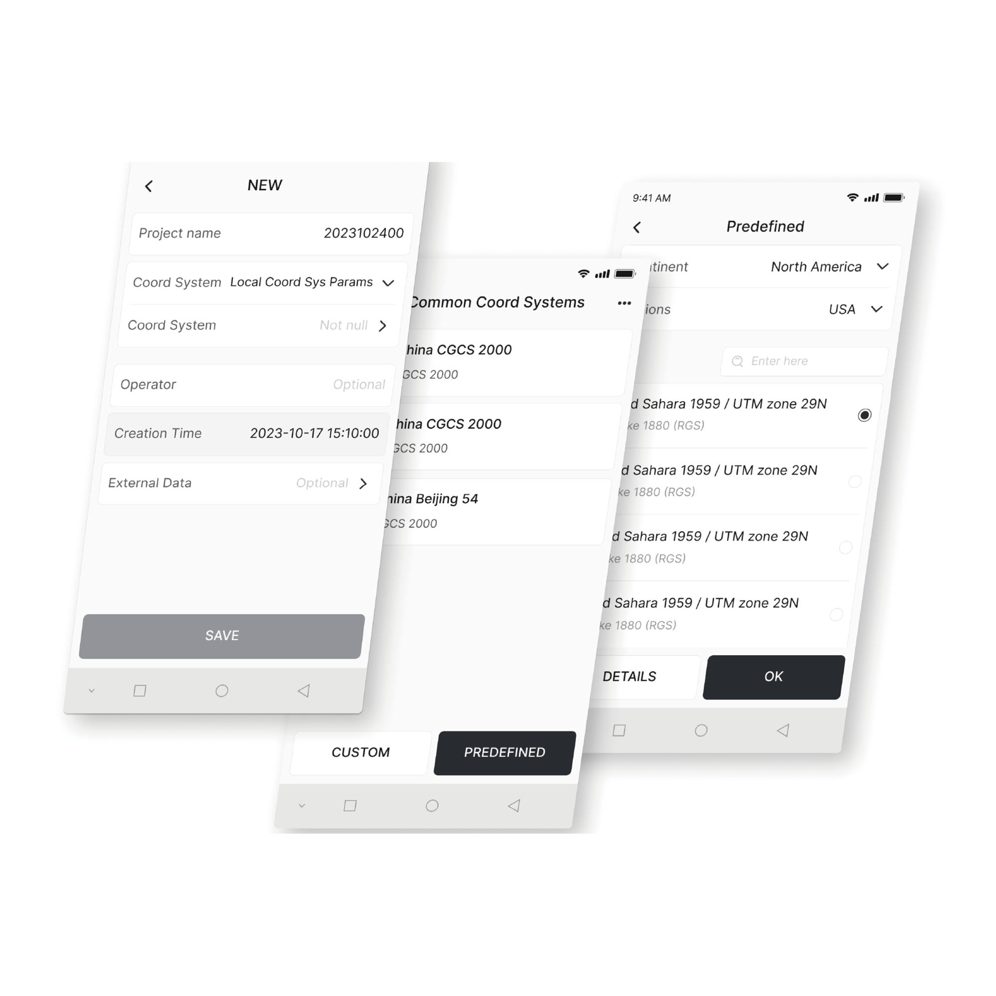
Koordinatentransformation
Erstellen Sie verschiedene Ebenen- und Höhenmodelle mit über 8.000 Koordinatensystemen, 70 Ellipsoiden und 30 Projektionen. Sie können auch Geoidkorrekturen vornehmen, um Ihren regionalen Anforderungen gerecht zu werden.
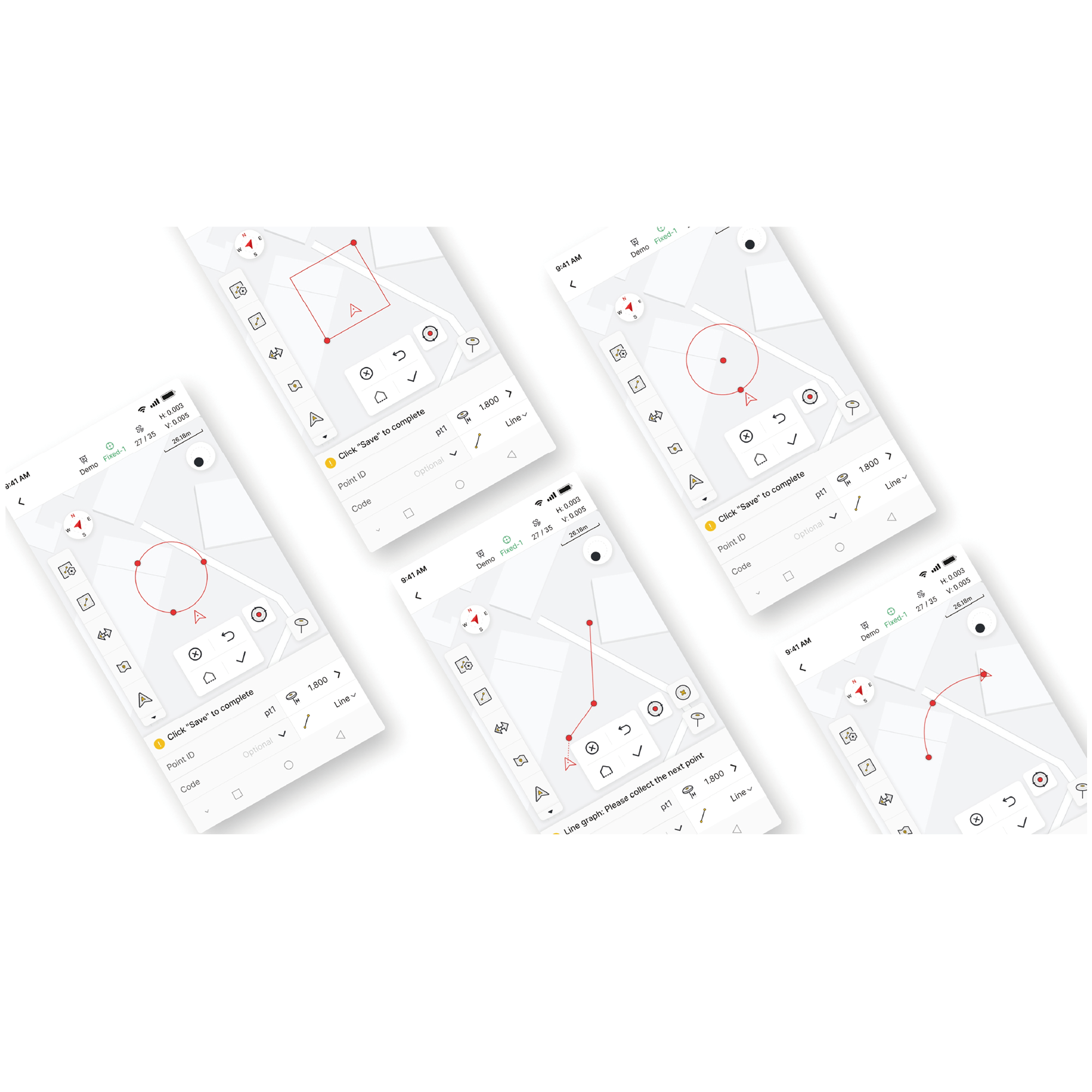
Messen & Zeichnen
Erhalten Sie präzise Positionsdaten und messen/zeichnen Sie 10 gängige Formen (darunter Polylinien, Kreise und Rechtecke). Sie können auch codebasierte Messungen mit übersichtlichen grafischen Kategorien durchführen, um die Kartierung nach der Vermessung zu beschleunigen.
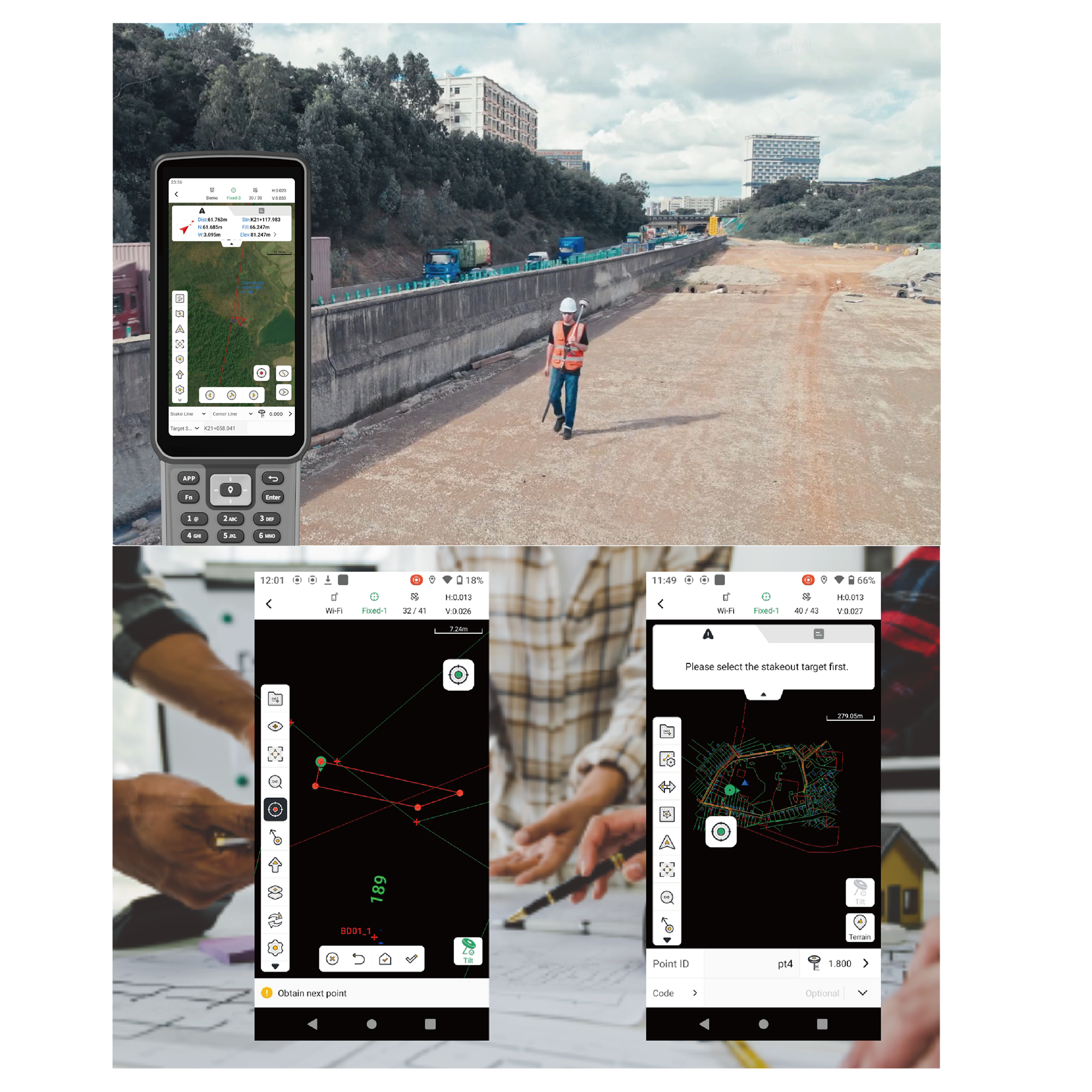
Effizientes Abstecken & Reibungslose Koordination
Nachdem Sie die Daten in der Vermessungs-App verarbeitet haben, können Sie benutzerdefinierte Beschriftungen hinzufügen und die Daten schnell in gängige CAD-Dateien exportieren, um die Absteckung im Gelände zu beschleunigen. Mit der App können Sie außerdem Straßendetails wie Stationsgleichungen, Trassierungen, Querschnitte und Neigungen anzeigen. Sobald Sie die Korrektheit der Absteckungsinformationen bestätigt haben, können Sie diese als LandXML-Straßendatei exportieren, um sie schnell zu teilen und eine reibungslose Koordination zu gewährleisten.
Für den weltweiten Einsatz geeignet
Die Trion Survey App unterstützt 16 Sprachen und ermöglicht Ihnen so die Verarbeitung von Geländedaten, die mit V4E erfasst wurden, in Ihrer bevorzugten Sprache. Zudem können Sie flexibel zwischen Quer- und Hochformat wechseln, um die Daten auf den 8-Zoll-Monitoren UA80 und D10 optimal darzustellen. Dies vereinfacht Ihren Workflow von der Feldarbeit bis zur Datenverarbeitung und sorgt dafür, dass Ihre Daten schnell für das nächste Projekt bereit sind.
Download
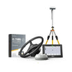
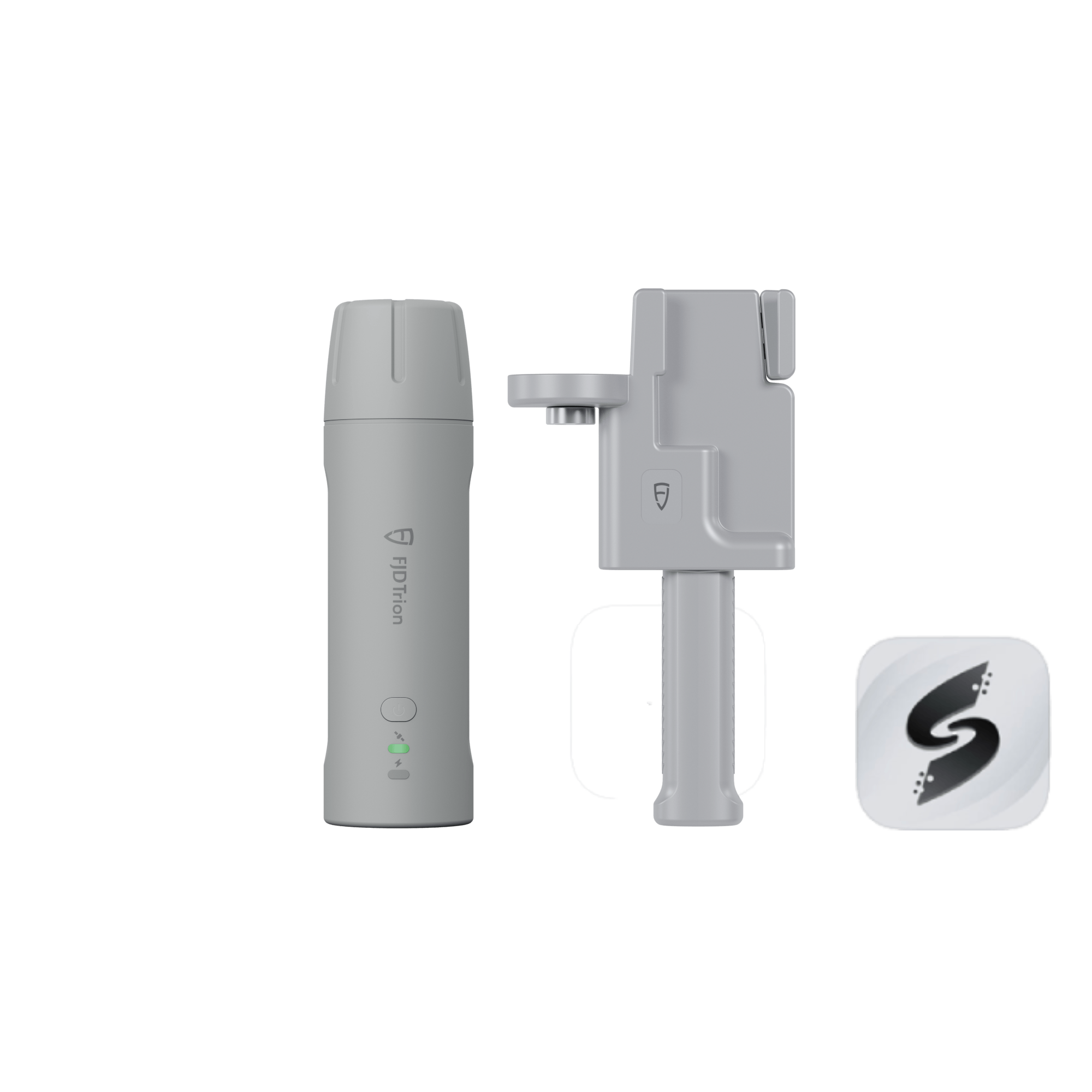
Packing List
 |  |  |
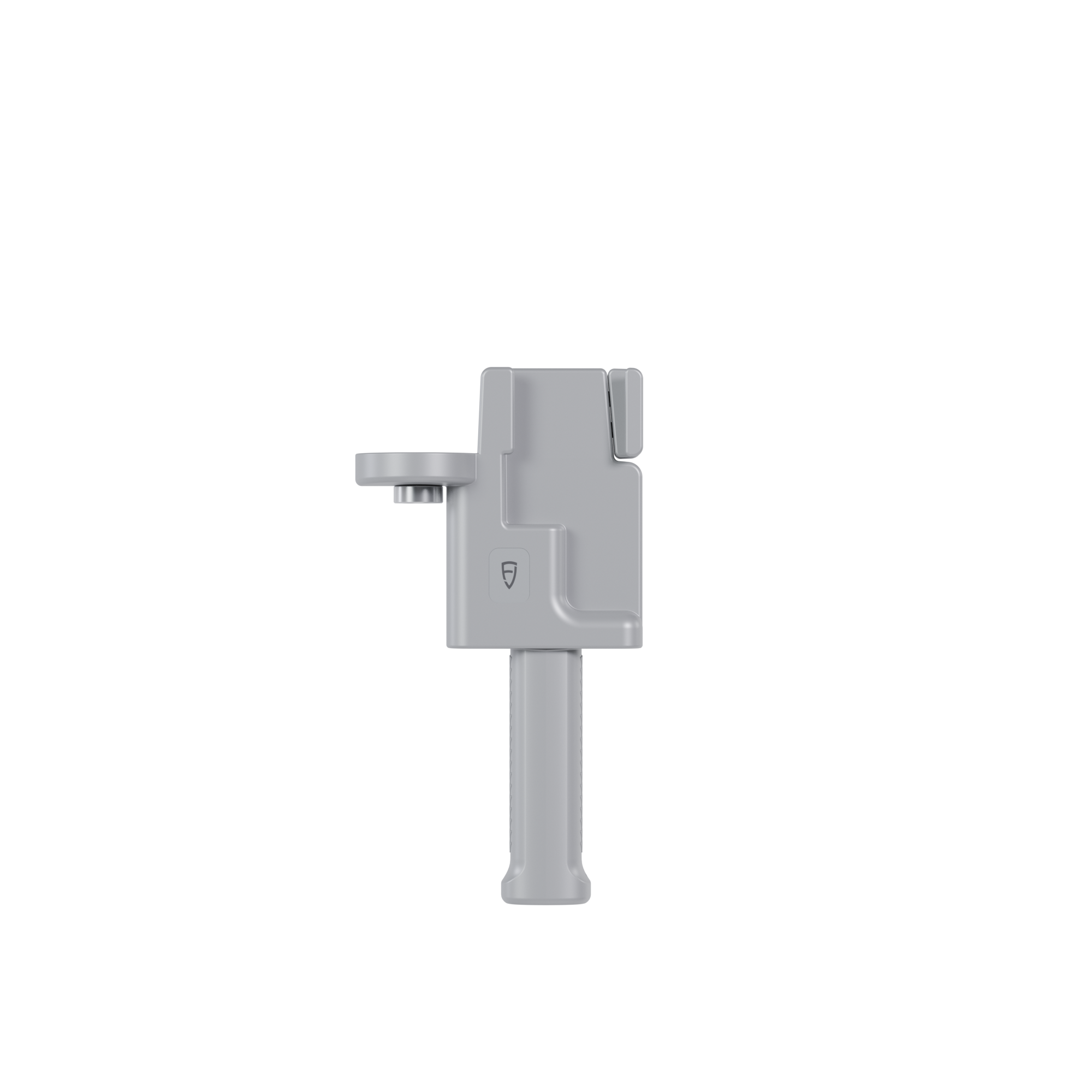
V4E / V4e PRO *1 | Charging Cable *1 | Screw Adapter *1 |
Specifications
 |
 |
Häufig gestellte Fragen
Is this RTK receiver included with the Trion V4e LiDAR?
Yes. This RTK receiver is included with the Trion V4e LiDAR Kit.
What is the difference of V4e Standard and V4e Pro?
The V4e Pro builds upon the V4e Standard, adding laser range finding and tilt measurement for more advanced surveying needs, making it ideal for complex or precise projects.
Wie kann die von V4e erstellte Grenze auf das Navigationssystemterminal hochgeladen werden?
Mithilfe der Umfrage-App oder der entsprechenden App.
Wie wird dieses Produkt verwendet?
Dem Produkt liegt eine Bedienungsanleitung bei. Sie können auch die folgende Dokumentation konsultieren: VideoDie
Kann V4e als UAV-Basisstation (Unbemanntes Luftfahrzeug) verwendet werden?
Nein. Denn V4e besitzt weder ein Netzwerkmodul noch einen Funkempfänger.
Verfügt V4e über einen Radiosender?
Nein. Es wird empfohlen, Ntrip (Netzwerkbasierter Transport von RTCM über Internetprotokoll) zu verwenden.
Wie lade ich die von V4e generierten Grenz- und Basisliniendaten auf das Navigationskit-Terminal hoch?
Erstellen Sie die Baseline und die Grenze mithilfe der FieldFusion App und wählen Sie dann aus, dass diese mit dem gebundenen Terminal synchronisiert werden sollen.
Bei der Verwendung des V4e Pro für Lasermessungen zittert der Laserpunkt und lässt sich nicht stabilisieren. Gibt es Zubehör, um das Gerät zu stabilisieren und sicherzustellen, dass der Laserpunkt an der Messposition fixiert bleibt?
V4e unterstützt zwei Messmethoden: (1) Neigungsmessung mit Zentrierstab, die den Bedarf des Anwenders an stabilen Messungen bestimmter Punkte deckt. (2) Laser-Neigungsmessung, die sich für Szenarien eignet, in denen kein Zentrierstab verwendet werden soll oder dieser nicht erreichbar ist.
Wie sieht es aktuell mit der Kompatibilität zwischen V4e und Trion Survey aus? Gibt es wichtige Funktionen, die noch nicht unterstützt werden?
Die Trion Survey APP ist die Begleitsoftware für V4e, und es gibt keine Kompatibilitätsprobleme.
Kann V4e auch in einer Umgebung ohne jegliche Netzwerkverbindung eingesetzt werden? Und kann es PPK (Post-Processed Kinematics) durchführen?
Es wird empfohlen, V4e in einer Netzwerkumgebung zu verwenden. PPK wird nicht unterstützt.
Kann V4e RINEX-Daten (Receiver Independent Exchange Format) speichern?
Nein.
Welches Datenformat weisen die exportierten Punkte nach der Verbindung von V4e Pro mit FJD Trion Scan auf?
.las (ein gängiges Format zum Speichern von Lidar-Punktwolkendaten)
Irgendeine Frage?
Sie können uns über unsere Kontaktseite erreichen! Wir helfen Ihnen gerne weiter.
Sie können auch mögen